Service areas
We claim coverage only where independent local companies serve through this program: Liberty Lake and its neighborhoods, Spokane County and the West Plains, plus the Idaho Panhandle cities across the state line. Each area page below is written for that community — its housing, its terrain, its actual water risks.
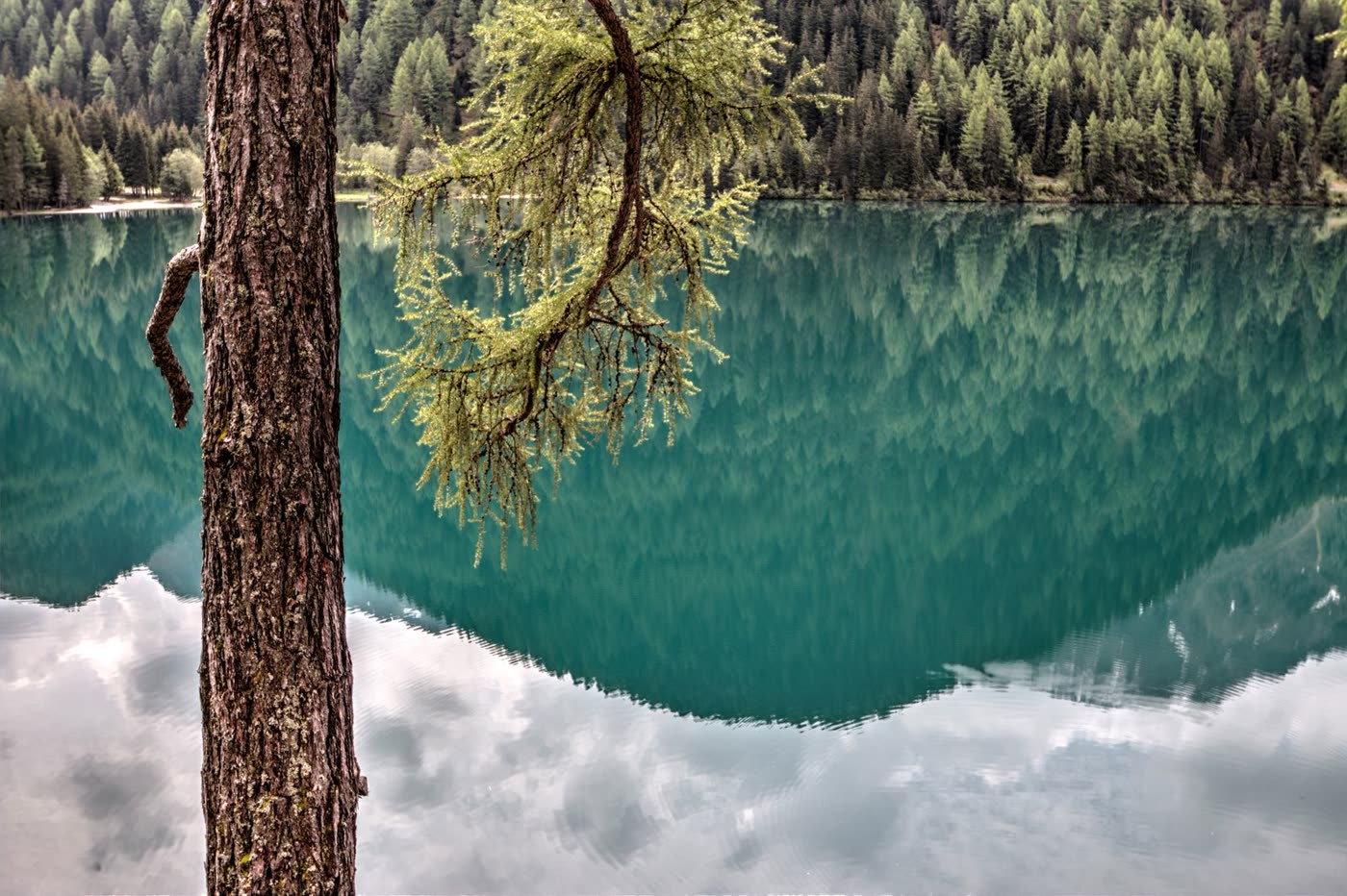 Liberty Lake, WAZIPs: 99019 · Spokane CountyLiberty Lake is our home coverage area — a planned community of about 12,700 people built around the lake itself, between Spokane Valley and the Idaho line. Most homes here were built from the 1990s through the 2010s in neighborhoods like River District, Legacy Ridge, and Hawkstone, and that construction era shapes the water losses we see: finished basements that flood from sump failures, supply-line leaks in engineered-lumber floor systems, and frozen pipes in lake-adjacent second homes left unheated between winter visits.Local page →
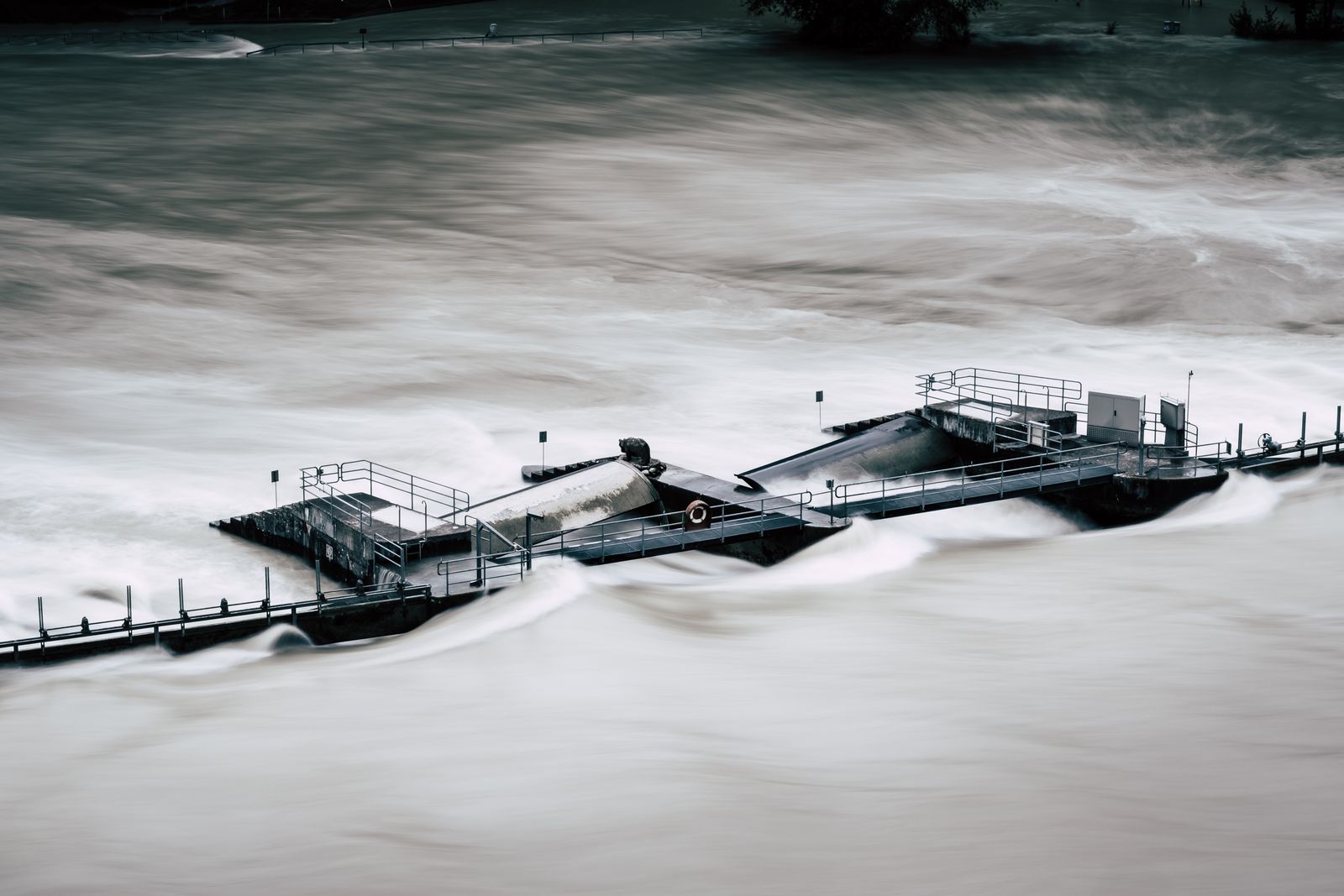 Spokane Valley, WAZIPs: 99016 · 99037 · 99206 · 99212 · 99216 · Spokane CountySpokane Valley stretches along the Spokane River east of Spokane, and its water-damage profile splits by elevation: river-adjacent and low-lying homes deal with groundwater and spring runoff, while the Valley's large stock of 1960s–1990s homes deals with aging plumbing, crawlspace leaks, and water heaters at the end of their lives on hard water.Local page →
 Greenacres, WAZIPs: 99016 · Spokane CountyGreenacres is an older Spokane Valley community between Liberty Lake and Spokane Valley proper — larger lots, mature trees, and a housing stock that skews older than Liberty Lake's planned subdivisions. That age shows up in its water losses: sewer laterals invaded by roots, galvanized plumbing at end of life, and crawlspaces that collect both plumbing leaks and spring groundwater.Local page → Veradale, WAZIPs: 99037 · Spokane CountyVeradale, in the heart of Spokane Valley near University City and the Valley Mall area, is a community of established neighborhoods, schools, and mid-century-to-1990s homes. Its water losses are the Valley's greatest hits — basement seepage over the aquifer, appliance failures, and crawlspace moisture — with the added factor of busy family homes where leaks compete with everything else for attention and get found late.Local page → Otis Orchards, WAZIPs: 99027 · Spokane CountyOtis Orchards-East Farms is the semi-rural community between Liberty Lake and the Spokane River — acreage lots, orchard history, wells and septic systems, and homes that range from farmhouses to new subdivisions. Rural systems change the water-damage math: a well-pump or pressure-tank failure behaves differently from a city-water leak, and septic backups need different handling than sewer backups.Local page → Newman Lake, WAZIPs: 99026 · Spokane CountyNewman Lake is Spokane County's lake-cabin community — a recreational lake ringed with everything from vintage seasonal cabins to year-round lake homes, many second homes for Spokane and Liberty Lake families. Absentee ownership is the defining water-damage risk here: a leak that would be a nuisance in an occupied home becomes a total loss when it runs undiscovered for two weeks.Local page →
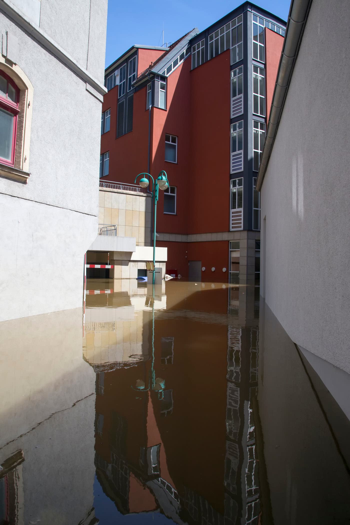 Spokane, WAZIPs: 99211 · 99213 · 99215 · 99216 · 99223 + more covered ZIPs · Spokane CountySpokane is the region's urban core, and its housing spans a century: 1900s–1920s homes on the lower South Hill and in Browne's Addition, postwar neighborhoods on the North Side, and newer growth to the south. A century of plumbing means a century of failure modes — clay sewer laterals, galvanized supplies, knob-and-tube-era basements never designed to be finished, and, in newer areas, the same appliance and freeze losses as the suburbs.Local page → Post Falls, IDZIPs: 83854 · 83877 · Kootenai County, IDPost Falls, Idaho — just across the state line from Liberty Lake along I-90 — is one of the fastest-growing cities in the Inland Northwest, built along the Spokane River below the Post Falls Dam. New subdivisions dominate, but the river, the Rathdrum Prairie's groundwater, and Kootenai County winters give Post Falls losses a familiar shape with an Idaho twist: new-build plumbing failures, snowmelt drainage problems on flat prairie lots, and river-adjacent flooding.Local page →
 Coeur d'Alene, IDZIPs: 83814 · 83815 · 83816 · Kootenai County, IDCoeur d'Alene is the lake city across the state line — a resort town turned year-round community wrapped around the north shore of Lake Coeur d'Alene. Its water-damage map follows its housing: older homes near downtown and the lake, seasonal lake properties that sit empty in winter, and fast-growing subdivisions on the north side. Same Inland Northwest winters, same aquifer country — with lakefront stakes that make a slow leak an expensive one.Local page → Hayden, IDZIPs: 83835 · Kootenai County, IDHayden wraps around Hayden Lake just north of Coeur d'Alene — a fast-growing community where new subdivisions off Prairie Avenue and Huetter Road meet lake homes, acreage properties, and a well-and-septic fringe. Growth is the headline, but water damage in Hayden follows the mix: new-build failures in the subdivisions, shoreline groundwater at the lake, and freeze losses on rural properties where a pump house is part of the plumbing.Local page →
 Rathdrum, IDZIPs: 83858 · Kootenai County, IDRathdrum is one of Idaho's fastest-growing small cities, spread across the Rathdrum Prairie north of Post Falls — a young community of new construction, manufactured homes, and prairie subdivisions rising out of former farmland, with the Twin Lakes area at its northern edge. Its water damage is a growth city's: construction-era plumbing at scale, prairie drainage still being invented lot by lot, and groundwater that remembers the lakes are near.Local page →
 Airway Heights, WAZIPs: 99001 · Spokane CountyAirway Heights sits on the West Plains plateau west of Spokane at roughly 2,400 feet — higher, colder, and windier than the valley floor, next to Fairchild Air Force Base. Its water damage runs colder than the rest of the region: the plateau's freeze-thaw cycles are the harshest in Spokane County, and a growing stock of newer apartments and homes along the Hayford Road corridor adds crawlspace snowmelt flooding to the winter freeze story.Local page → Medical Lake, WAZIPs: 99022 · Spokane CountyMedical Lake is the small lake town southwest of Spokane built around its namesake lake — an older, quieter community near Eastern State Hospital, with housing stock that skews older than the growth suburbs. Its water damage is an old-stock story: aging plumbing and water heaters, lake-adjacent groundwater in the low streets, and basements and crawlspaces in homes built across many eras of construction standards.Local page →
 Cheney, WAZIPs: 99004 · Spokane CountyCheney is Eastern Washington University's college town, southwest of Spokane — a community where a large share of housing is rented by or for students, layered over an older small-town core and newer subdivisions on its edges. That mix writes its water-damage story: rentals where leaks are discovered late because nobody 'owns' the problem, older downtown homes with aging systems, and student-turnover gaps when houses sit empty between leases.Local page →
 Deer Park, WAZIPs: 99006 · Spokane CountyDeer Park anchors the north end of Spokane County — a more rural community of larger lots, older farmhouses, shops and outbuildings, and new subdivisions growing toward Spokane. It gets more snow and colder nights than the valley floor, and its water damage has a country accent: well systems and pump houses, plumbing in outbuildings nobody heats reliably, and farmhouse plumbing with generations of repairs in the walls.Local page → Millwood, WAZIPs: 99212 · Spokane CountyMillwood is the tiny historic paper-mill town folded into the Spokane River bend between Spokane and Spokane Valley — barely a square mile of older homes along the Argonne Road corridor. A note on coverage, stated plainly: Millwood's ZIP, 99212, is covered for water damage as part of Spokane's covered ZIP list on this service, so Millwood homeowners use the same referral line and form as Spokane — this page exists because Millwood's housing and river position give it a distinct loss pattern, not because it is a separate market.Local page →
Check your ZIP
Primary covered ZIPs — don't see yours? Call to check.
Covered: 99019 · 99016 · 99037 · 99027 · 99026 · 99206 · 99211 · 99212 · 99213 · 99215 · 99216 · 99223 · 83854 · 83877
Call (509) 219-3080Liberty Lake neighborhoods
All inside ZIP 99019 — all covered, each with its own water risks and its own page.
River DistrictNewer homes, apartments & townhomes between I-90 and the Spokane RiverLegacy RidgeGated hillside community of larger custom homes, east side, views to Mica PeakHawkstoneCentral newer subdivision near Rocky Hill — final phases still buildingMeadowwoodEstablished golf-course community — MeadowWood, Trailhead & Liberty Lake coursesRocky HillNewer family subdivision south of Hawkstone, wrapped around a ~13-acre parkRiver CrossingHomes & townhomes on the Spokane River's north sideSandy BeachThe lakeshore neighborhood — closest to Liberty Lake itselfIn one of these areas with water damage? Call now.
Call now to get connected with an independent local restoration company serving Liberty Lake & Spokane County.
Call (509) 219-3080